PORT DUBROVNIK
Lat = 42° 38’ N; Long = 018° 07’ E
Admiralty Chart: BA 683
Admiralty Pilot: NP 47
Time Zone: GMT + 1 h
UNCTAD Locode: HR DBV
Principal Facilities: Passenger Terminal, Ro/Ro
(ferries), (none: Dry Dock, Other Liquid Bulk)
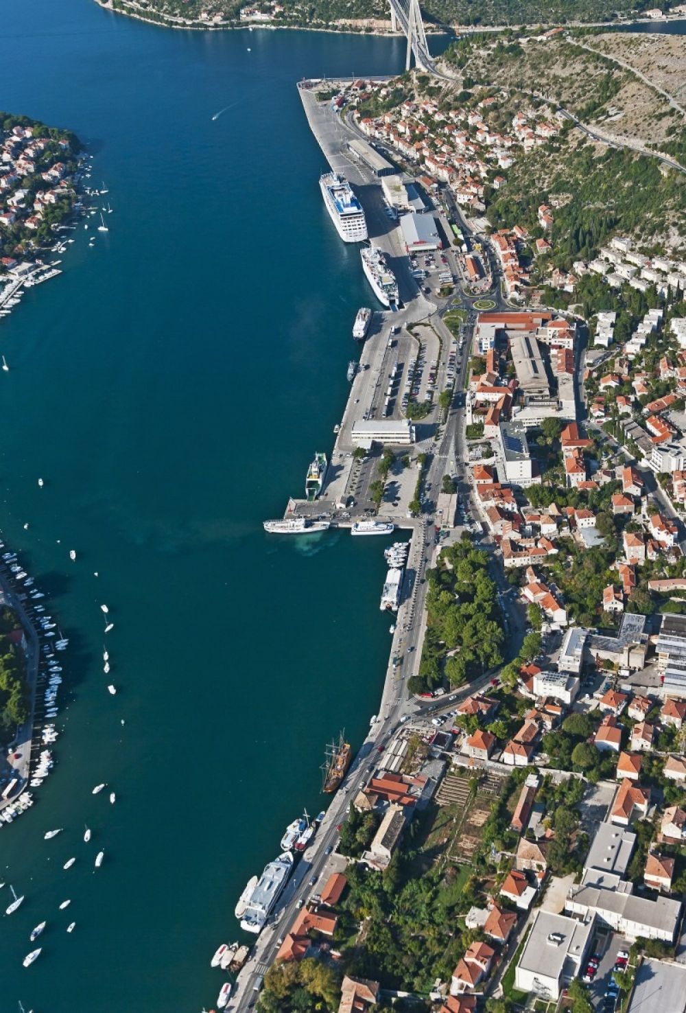

CRUISE PORT: FACILITIES & TECHNICAL FEATURES
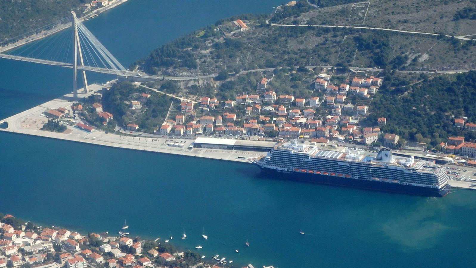
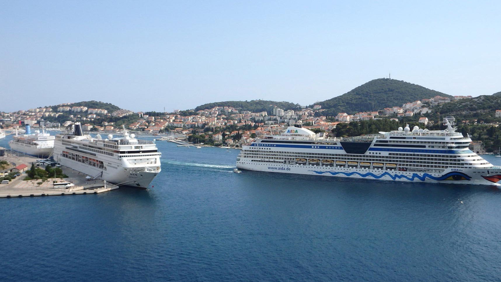
Cruise Port suitable for mega ships (LOA length beyond 330 m) Maximum berthing capacity for mega cruise ship: 800 m
NAVIGATION
(MAXIMUM SHIP DIMENSIONS ALLOWED)
Length: NO LIMIT
Width: NO LIMIT
Ship’s Max Draught: 11 m; 36,09 feet
Turning Basin: 500 m; 1640 feet
Air Draught: NO LIMIT
Anchorage: YES (available depth 42 m; 138 feet)
Tidal movement/range: 0,3 m; 0,98 feet
TECHNICAL FEATURES
Harbor open from 0-24
Number of quays: 9
Quays length: 1600 m
Quays width: 20-70 m; 65-229 feet
Bollards and fenders characteristics: FENTEK SCN 900
Passenger Terminal
SERVICES
pilotage compulsory
tugs available
ship tenders allowed
small ship repair
bunkering small quantity
garbage disposal
water supply
emergency service
SECURITY MEASURES
Procedure: BORDER CROSSING AREA / STANDARD POLICE AND CUSTOM CONTROL
Immigration custom facilities
ISPS Code compliance security measures
Video surveillance: 13 color screen video surveillance cameras VHF CH O9 ( working channel) Other security measures adopted: ID RFID SYSTEM
SERVICES FOR CRUISE PASSENGERS
car parking for 300 cars
shuttle bus from port to old town
information office
newsstand
food and beverage areas
left luggage deposit
lost and found service
OPERATIONAL COAST/ACCOMMODATION
| Vez (br.) | Length | Depth/Draught |
| Pier 4 - 6 | 210 | 2,0 - 4,0 |
| Pier 7 - 9 | 305 | 5,0 - 6,5 |
| Pier 10 - 11 | 615 | 11,0 |
| Pier 12 | 220 | 11,0 - 11,5 |
| Pier Kantafig | 40 | 11,0 |
| Batahovina I | 220 | 8,50 |
ANCHORAGE
Anchorage can be obtained about 0,8 miles of Kantafig light, between island Daksa and mainland, in depth of 42 m.
Latitude Longitude
1. 42º40.03' N 018º04.06' E
2. 42º40.09' N 018º04.12' E
3. 42º40.36' N 018º03.12' E
4. 42º40.06' N 018º02.48' E
5. 42º40.54' N 018º03.24' E
6. 42º40.18' N 018º03.36' E


